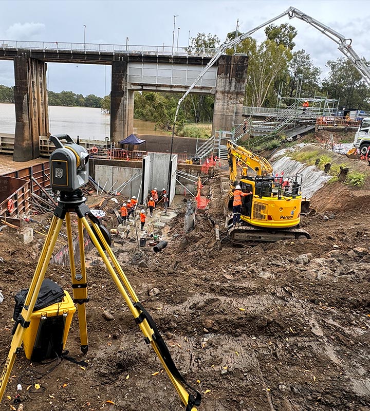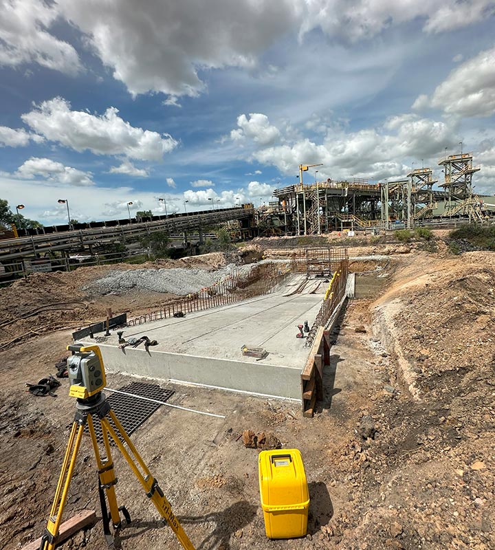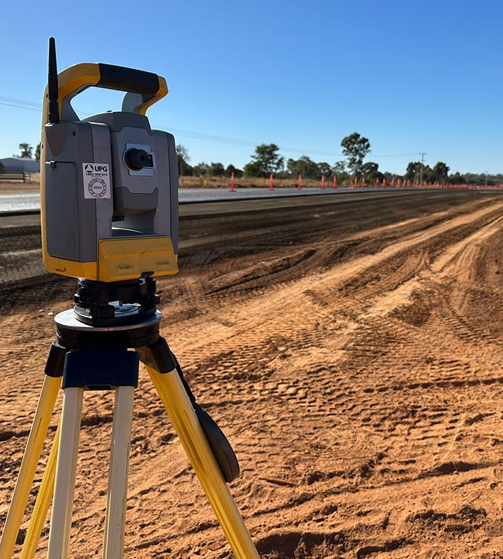
Pre-design, Planning, As-built and Auditing surveys are carried out using Total Station or RTK GPS. Use of Total Station is usually preferred where the degree of accuracy is required to be high for example in surfaced roads, steel works and concrete works. Field data is processed using 12d model survey software and the output files and reports are created according to the preferred format of the client. Printout PDF plans can also be provided indicating the line styles, scale and legend.


Mine Site Infrastructure Surveys
Road, Rail & Bridges
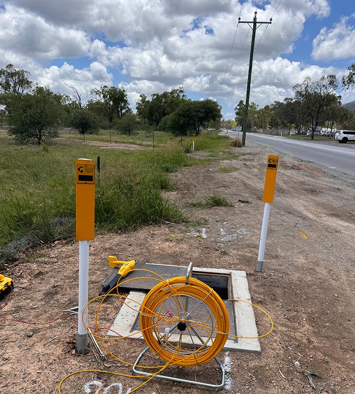
Underground Utilities Locating